MTB
MOUNTAIN BIKE TOURAndrea Sartori
Guida dell’Accademia Nazionale
di Mountain Bike
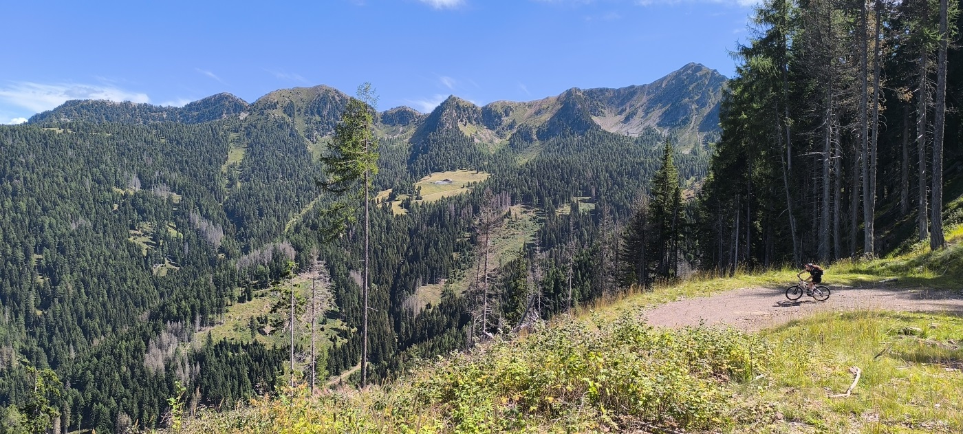
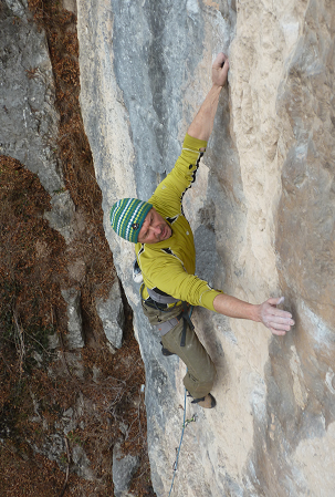
Sono Guida di Mountain Bike con approfondita conoscenza del territorio e con esperienza nell’accompagnamento di singoli o gruppi poco numerosi in ambiente d’avventura. Da molti anni sono Istruttore di Alpinismo e Scialpinismo, svolgendo questa attività nell’ambito dei Corsi delle Scuole del Club Alpino Italiano e vivo la montagna in ogni suo aspetto ed in ogni stagione, ma sempre con la massima attenzione per l’ambiente e per la sicurezza individuale. Come Guida di Mountain Bike il filo conduttore del mio impegno si esprime mediante un uso consapevole e rispettoso della bicicletta ed in particolare della e-bike in contesto montano: si aprono in tal modo nuovi orizzonti ed infiniti tour da inventare che permettono di vivere, assieme alla guida, esperienze ed avventure indimenticabili in luoghi incontaminati.
National Mountain Bike Guide with great knowledge of the territory and experience in accompanying individuals or small groups in an adventure environment. For many years I am Alpinism and Ski-alpinism Instructor, teaching the Courses of the Italian Alpine Club Schools and I live the mountain in every aspect and in every season, but always with the utmost attention to the environment and individual safety. As Mountain Bike Guide, the leitmotif of my commitment is expressed through a conscious and respectful use of the bike and in particular of the e-bike in a mountain context, which must not suffer the signs of our passage: so new horizons open up and endless tours to be invented that allow you to live, together with the guide, unforgettable experiences and adventures in pristine places.
CONTATTO:
+39 3480360937
andrea.sartori7@tin.it
MOLTI ALTRI TOUR
a richiesta!
Adatto a chi?
Minimo 16 anni.
Quando?
Da giugno a ottobre.
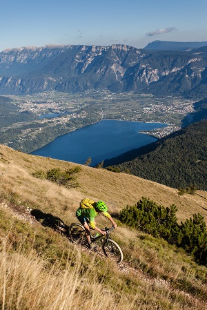

GIRO DEI LAGHI DI LEVICO E CALDONAZZO
Tour facile e breve con pendenze dolci e piacevoli e scarso dislivello. Si svolge prevalentemente su strade sterrate non trafficate ed immerse nella natura con bei panorami sui laghi.
Easy and short tour with gentle, pleasant slopes and little difference in altitudine. It takes place mainly on unpaved road with no traffic and surrounded by nature with beatiful views of the lakes.
DIFFICOLTA’: Facile LUNGHEZZA: circa 20 km
DISLIVELLO: 200 m. DURATA: 2 – 3 ore
TOUR del CASTELLO di PERGINE e dei piccoli LAGHI del PERGINESE (LAGO della COSTA, di VIGALZANO, di MADRANO, BIOTOPO del LAGO PUDRO)
Questo tour medio/facile, abbastanza lungo come sviluppo, presenta pendenze dolci e piacevoli e scarso dislivello. Si svolge prevalentemente su strade sterrate non trafficate ed immerse nella natura. Caratteristica ed affascinante la salita al Castello (visitabile solo parzialmente). Partenza diretta dall’Hotel.
This medium/ easy tour, quite long as development, has gentle and pleasant slopes and poor level. It takes place mainly on unpaved roads and surrounded by nature. The climb to the Castle is characteristic and fascinating (it can only be partially visited). Direct departure from the hotel.
DIFFICOLTA’: Medio/facile LUNGHEZZA: circa 50 km (possibili varianti)
DISLIVELLO: 450 m. (possibili varianti) DURATA: 4 – 5 ore
SCALATA della VALLE di SELLA
Tour medio/difficile che da Levico risale il Vallone di Barco su strada sterrata (geologicamente pittoresco per le rocce sedimentarie stratificate ricche di fossili) sino ad entrare nella amena Valle di Sella, ricca di praterie, baite e foreste. Si passa vicino ad ARTE SELLA. Il ritorno offre 3 possibilità: la stessa via di salita, un difficile single track in discesa oppure il rientro percorrendo tutta la valle sino a Borgo Valsugana con rientro a Levico dalla ciclabile di fondovalle. Partenza dall’Hotel.
Medium/difficult tour from Levico up the Vallone di Barco on a dirt road (geologically beatiful for the stratified sedimentary rocks) up to enter the pleasant Valle di Sella, rich in grasslands, huts and forests. You pass near ARTE SELLA. The return trip offers 3 possibilities: 1. the same way of ascent, 2. a difficult single track downhill or 3. the return along the whole valley to Borgo Valsugana with return to Levico by the valley cycle path. Departure from the Hotel.
DIFFICOLTA’: difficile LUNGHEZZA: max 38 km
DISLIVELLO: 800 m. DURATA: 4-5 ore circa
CIMA PANAROTTA (m.2002) e TRAVERSATA della VALLE dei MOCHENI
Magnifico tour in quota che tocca i 2000 metri di Cima Panarotta per poi proseguire attraverso tutta la Valle dei Mocheni in sinistra orografica rimanendo sulla quota di 1600-1700 metri circa. Percorso esposto al sole, in prevalenza su strade forestali sterrate (eventualmente brevi tratti di sentiero). Sono possibili diverse varianti più o meno lunghe, più o meno difficili a seconda delle esigenze e dei partecipanti. Magnifiche vedute sulle propaggini meridionali della catena del Lagorai. Possibilità di sosta breve per mangiare presso i Rifugi posti lungo il percorso (non incluso). Il ritorno si svolge sempre in ambiente naturale lungo strade forestali che riportano in Panarotta al parcheggio di partenza. Il tour è rivolto a bikers mediamente ben allenati. Vengono evitate al massimo possibile tutte le strade trafficate.
Wanderful high altitude tour that touches the 2000 meters of Cima Panarotta and then continue through the entire Valle dei Mocheni in orographic left remaining on the altitude of 1600-1700 meters. Route exposed to the sun, mainly on dirt forest roads (possibly short paths). Different variants are possible more or less long, more or less difficult depending on the needs and participants. Magnificent views of the southern foothills of the Lagorai chain. Possibility of a short stop to eat at the mountain huts along the route (not included). The return takes place always in a natural environment along forest roads that bring in Panarotta to the parking of departure. The tour is aimed at average well-trained bikers. All the busy roads are avoided as much as possible.
DIFFICOLTA’ : media LUNGHEZZA: circa 30 km
DISLIVELLO: circa 600 m DURATA: circa 5 ore
PIZZO di LEVICO (CIMA VEZZENA, Spitz Verle, m. 1908)
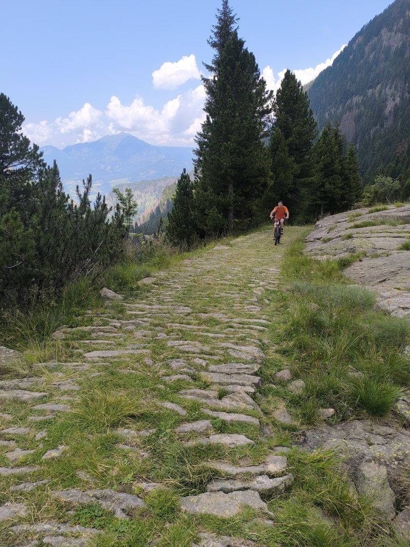
Tour difficile, per bikers molto allenati. Partendo da Levico si percorre in salita la famosa strada di guerra del Menador (Kaiserjaegerweg, ora asfaltata, percorsa anche dal Giro d’Italia) che dopo 850 metri di dislivello porta sull’altopiano di Vezzena. Da qui, attraverso strade forestali, si va ad imboccare la faticosa mulattiera di guerra austroungarica con fondo SELCIATO che raggiunge la cima Vezzena. Il Forte merita una visita ed il panorama è stupendo. Ritorno per la stessa via. Il Tour può essere facilitato partendo con le biciclette da Passo Vezzena.
Difficult tour, for very trained bikers. Starting from Levico you climb the famous war road of the Menador (Kaiserjaegerweg, now paved, also covered by the Giro d’Italia) that after 850 meters of altitude leads to the plateau of Vezzena. From here, through forest roads, you go to take the tiring Austro-Hungarian war mule track with stone background that reaches the top of mountain. The Fort is worth a visit and the view from the top is beatiful. Return by the same way. The tour can be facilitated starting with bicycles from Passo Vezzena (1402 m).
DIFFICOLTA’: Difficile LUNGHEZZA: 50 km (14 km dal Passo)
DISLIVELLO: 1478 m (500 m dal Passo) DURATA: 6-7 ore circa
GIRO dell’ORTIGARA (m. 2105)
(Il Calvario degli Alpini, “Per non dimenticare”, ogni chilometro è storia)
Partenza/Arrivo: Passo Vezzena (1400 m)
NOTA STORICA: Durante la Grande Guerra la zona fu teatro di una violentissima battaglia d’alta montagna combattuta dal 10 al 25 giugno 1917 tra l’esercito italiano e quello austriaco, che vide impiegati 400.000 soldati per il possesso del monte Ortigara. La battaglia, nonostante l’eroismo ed il sacrificio dei soldati italiani, si concluse con un clamoroso fallimento tattico e strategico per colpa della malaccorta gestione di uomini e mezzi da parte dell’intero comando supremo italiano. Le perdite ammontarono a venticinquemila italiani e novemila austriaci, quelle più rilevanti si ebbero tra gli Alpini, tanto che la 52° divisione perse circa la metà dei suoi effettivi. Nel settembre del 1920 sulla montagna si tenne la prima Adunata nazionale degli Alpini, dove duemila ex combattenti si riunirono sulla cima deponendovi una colonna mozza che riportava la scritta: “Per non dimenticare”. Lungo tutto il percorso del tour, oltre a manufatti militari come trincee, fortini e cimiteri militari, potremo vedere numerose costruzioni e monumenti allestiti dall’esercito austroungarico durante la difesa del fronte.
DESCRIZIONE: Stupendo ed avventuroso itinerario che si svolge su altopiano in ambiente naturale unico e particolare. Il terreno presenta molte affinità con la regione carsica, con la quale condivide la natura calcarea delle rocce e parecchie particolarità geomorfologiche. La vegetazione costituita da pascoli e boschi di conifere si dirada man mano che ci si alza verso le cime rocciose settentrionali (Cima di Costalta, Cima Portule, Cima Dodici, Cima Ortigara, Cima Caldiera) lasciando il posto ad un ambiente roccioso arido ed a tratti brullo. Caratteristiche sono le cosiddette “buse” o “doline”, veri catini naturali assai simili alle doline carsiche.
L’itinerario, lungo circa 70 km su un dislivello di circa 1700 metri (con le varianti) si svolge su strade o mulattiere militari e non è di facile ed immediata individuazione senza l’aiuto della guida. Sono presenti numerosissime strade con elevate possibilità di errore che possono costare grandi perdite di fatica e di tempo. Lungo il percorso non sono presenti Rifugi o punti di ristoro aperti tranne che nei primi km dopo Passo Vezzena. E’ necessario quindi attrezzarsi con liquidi da bere, qualche alimento, vestiario in caso di maltempo e soprattutto almeno una camera d’aria per la propria bici. Le possibilità di foratura sono elevate a causa del tipo di ciottoli taglienti che si possono trovare lungo il percorso. Per le e-bike una gestione attenta al risparmio della batteria è fondamentale. Il tour viene proposto a bikers con buona capacità di conduzione della bici e con un allenamento medio-alto. Necessaria una partenza da passo Vezzena alle prime ore del mattino e condizioni meteo favorevoli.
HISTORICAL NOTE: During the Great War the area was the scene of a violent high mountain battle fought from 10 to 25 June 1917 between the Italian and Austrian armies, which saw 400,000 soldiers employed for the possession of Mount Ortigara. The battle, despite the heroism and sacrifice of the Italian soldiers, ended with a resounding tactical and strategic failure due to the mismanagement of men and means by the entire Italian supreme command. The losses amounted to twenty-five thousand Italians and nine thousand Austrians, the most significant were among the Alpini, so that the 52 first division lost about half of its staff. In September 1920, the first National Assembly of the Alpini was held on the mountain, where two thousand former fighters gathered on the top, placing a severed column that bore the words: “Do not forget”. Along the route of the tour, in addition to military artifacts such as trenches, forts and military cemeteries, we will see many buildings and monuments set up by the Austro-Hungarian army during the defense of the front.
DESCRIPTION: Wonderful and adventurous itinerary on a limestone plateau in a unique and particular natural environment. The terrain has many affinities with the “Carso” region, with which it shares the calcareous nature of the rocks and several geomorphological peculiarities. The vegetation consists of pastures and coniferous woods branches off as you rise towards the northern rocky peaks (Cima di Costalta, Cima Portule, Cima Dodici, Cima Ortigara, Cima Caldiera) giving way to a barren rocky environment. Characteristics are the so-called “buse” or “dolines”, true natural basins very similar to the “Carso” dolines.
The route, about 70 km long on a height difference about 1700 meters (with variants) takes place on military roads or mule tracks and is not easy and immediate to find without the help of the guide. There are many roads with high chances of error that can cost great losses of effort and time. Along the route there are no refuges or refreshment points open except in the first kilometers after Passo Vezzena. It is therefore necessary to equip yourself with liquids to drink, some food, clothing in case of bad weather and above all at least one inner tube for your bike. Drilling possibilities are high due to the type of sharp pebbles that can be found along the way. For e-bikes, battery-saving management is essential. The tour is offered to bikers with good cycling skills and a medium-high training. Necessary a departure from Vezzena pass in the early morning and favorable weather conditions.
DIFFICOLTA’: Difficile LUNGHEZZA: 64 km quasi tutti su sterrato
DISLIVELLO: 1610 m DURATA: 7 ore circa
ETA’ MINIMA: 18 anni

